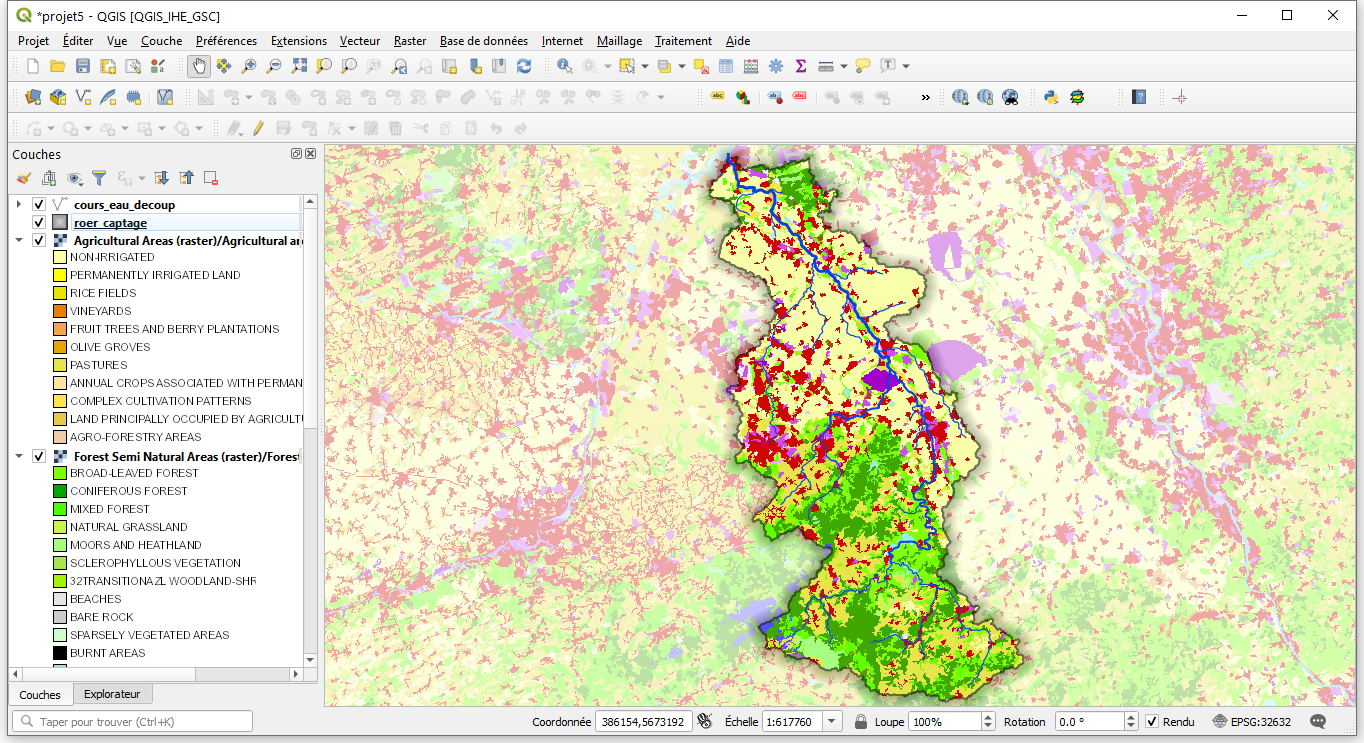
TW131GV - Systèmes d'information géographique
Initiation SIG avec QGIS1. Introduction aux SIG, prise en main de QGIS, formats Raster et Vecteur2. Systèmes de coordonnées de références3. Requêtes attributaires et spatiales, jointures attributaires et spatiales4. Cartographie thématique (et sémiologie graphique) :pour les données vectorielles, etpour les rasters5. Mise en page. Création de couches, saisie de données vectorielles et calculatric…
- المعلم: Leandro Camila

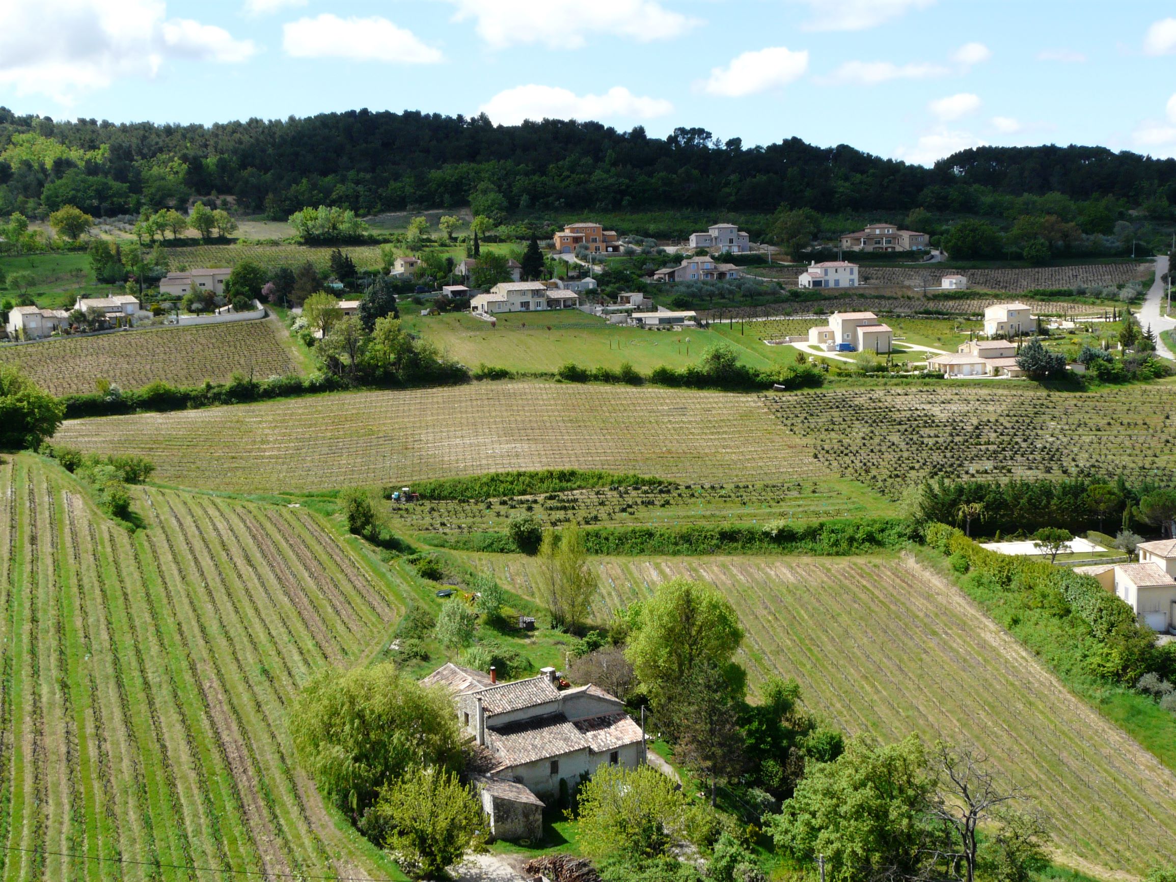
TW111GV - Problématiques environnementales : milieux terrestres (naturels et artificiels)
V12GEI5 - Problématiques environnementales : milieux terrestres naturels, artificielsEnseignants : Jérôme CORTET, Alan VERGNES
- المعلم: Cortet Jerome
- المعلم: Jay Robert Pierre
- المعلم: Marcon Aurélie
- المعلم: Vergnes Alan


- المعلم: Casy Frédéric
- المعلم: Cortet Jerome
- المعلم: Jay Robert Pierre

- المعلم: Jay Robert Pierre
- المعلم: Lafaye De Micheaux Pierre
- المعلم: Lebre Sophie

- المعلم: Flaud Benoit
- المعلم: Jaunault Stephanie
- المعلم: Lopez Elisa